Warmth Holds Before Weekend Storm
Southern Colorado residents can expect dry, mild conditions through Friday before a Pacific trough brings snow and wind.
By Layla Richardson ·
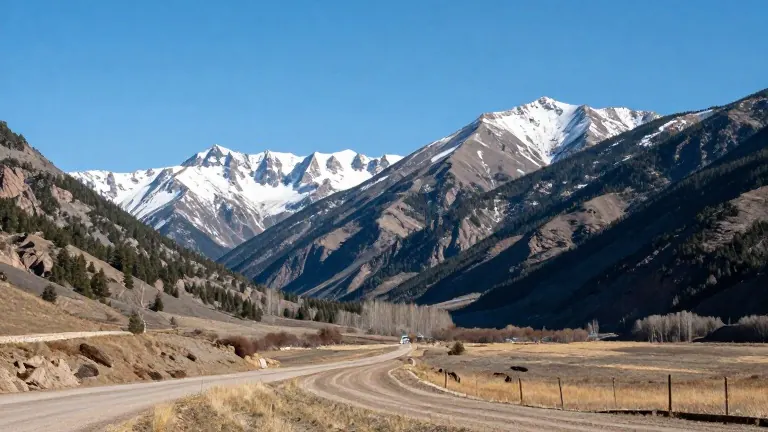
Mild and quiet weather will persist across Southern Colorado through the middle of the week.
Meteorologists from KOAA News5 project unseasonably warm temperatures for the Pikes Peak region and surrounding areas. In Colorado Springs, the low will reach 40 degrees, with a high of 68. Wednesday will feature a mix of sunshine and passing clouds, accompanied by light afternoon breezes.
The warmth will extend across the region. Pueblo is expected to hit a low of 40 and a high of 71, with mid-to-lower 70s temperatures and mid-level cloudiness. The area will remain dry through Thursday. Canon City will see a low of 41 and a high of 69, with mostly clear skies and a light southwesterly breeze in the afternoon. Woodland Park will experience a low of 32 and a high of 60, with pleasant conditions and breezy winds over the higher peaks.
The dry and mild pattern will hold through Thursday. Lower-elevation highs are expected to remain in the 60s and 70s. Subtropical moisture will begin moving in on Friday, bringing scattered mountain rain showers. A slight chance for a stray shower exists in far southeast Colorado.
Saturday will remain mostly quiet with mild temperatures and isolated showers over higher terrain. A weak ridge will keep conditions stable.
A sharp upper-level trough from the Pacific Northwest will arrive Sunday. This system will bring a significant storm, accumulating mountain snow, and much colder temperatures. Rain and snow showers may reach the eastern plains by early next week. Winds will increase late in the weekend and continue into the following week.